 Bad news
One in Seven English Mortgages Sits in a Flood-Risk Postcode, FCA Data Show
The Financial Conduct Authority says 15.5% of regulated mortgage contracts in England are linked to postcodes with some flood risk, with Lincolnshire and inner London the most exposed. The regulator adds no new rules.
This story runs on the bad side only. The biggest stories of the day are told on both sides.
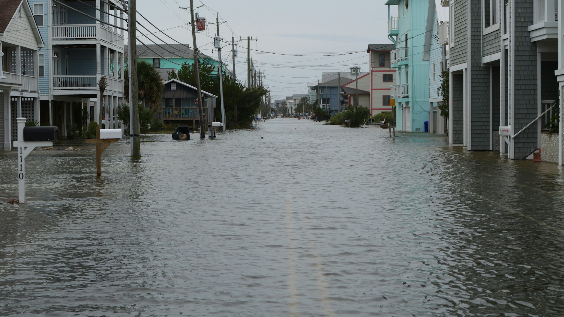
About one in seven mortgages in England is tied to a postcode where flooding is possible. The Financial Conduct Authority published the figure on 26 October: 15.5% of regulated mortgage contracts are linked to postcodes with some level of flood risk. The regulator matched firms’ sales records, which go back to 2005, against Environment Agency data on rivers, the sea and surface water.
Where the exposure sits
The pattern differs by type of flood. For surface water, inner London West has 24% of mortgages in affected postcodes and inner London East 21%. Essex has the highest share in the high-risk band, at 6.5%. For rivers and the sea, East Yorkshire and Northern Lincolnshire reach 38% and Lincolnshire 28%. At the other end, Cornwall and the Isles of Scilly have 2% and Hampshire and the Isle of Wight 3% for rivers and the sea.
The FCA found no clear link between high loan-to-value lending and flood exposure. Borrowers with thin deposits are therefore not obviously concentrated in the riskiest areas. For rivers and the sea, a larger share of mortgages in higher-risk bands sits in less deprived areas, which the regulator suggests may reflect the appeal of riverside and coastal homes.
What the figure does not show
The analysis works at postcode level and uses each postcode’s centre point to set its risk band. The FCA says that can misclassify properties, especially in large rural postcodes or those that straddle flood boundaries, and that small, concentrated risks may be missed. Its results are indicators of exposure, not assessments of individual homes or lenders. The page does not report how many contracts are affected, what they are worth, or what insurance costs.
The regulator also says the work creates no new requirements or supervisory expectations. It supports the FCA’s wider understanding of climate-related risk and adaptation, with no stated next step.
The wider picture
The Environment Agency’s national assessment, published in December 2024, counted 6.3 million properties in England in areas at risk of flooding from rivers, the sea or surface water. About 4.6 million are exposed to surface water. With climate change the agency says the total could rise to around 8 million by mid-century, or one in four properties.
The number of properties at the highest levels of risk, with a greater than one in 30 chance of flooding in any year, has risen by 88%. For a buyer, the practical step is to check a postcode’s flood band before committing. The FCA data give a national count of how much of the mortgage book is in affected postcodes.